


Tricotage au Rocassou, à la recherche du sentier perdu !!!!

supercolas
User GUIDE
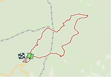

Length
9.8 km

Max alt
1147 m

Uphill gradient
281 m
Km-Effort
13.5 km

Min alt
900 m

Downhill gradient
282 m
Boucle
Yes
Creation date :
2025-01-26 13:00:34.299
Updated on :
2025-01-26 18:29:00.47
2h25
Difficulty : Medium

FREE GPS app for hiking
 SityTrail
IGN / Geographical institutes
SityTrail Plus
The world is yours!
About
Trail Walking of 9.8 km to be discovered at Provence-Alpes-Côte d'Azur, Vaucluse, Flassan. This trail is proposed by supercolas.
Description
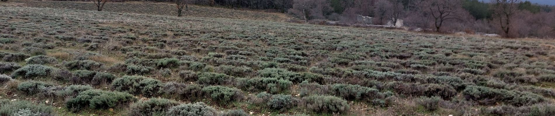
Les Bonins Flassan
Photos


Positioning
Country:
France
Region :
Provence-Alpes-Côte d'Azur
Department/Province :
Vaucluse
Municipality :
Flassan
Location:
Unknown
Start:(Dec)
Start:(UTM)
684216 ; 4886082 (31T) N.
Comments