


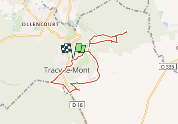
Chemins de mémoire à Tracy-le-Mont

JJDOLLE
User

Length
6.9 km

Max alt
136 m

Uphill gradient
112 m
Km-Effort
8.4 km

Min alt
74 m

Downhill gradient
111 m
Boucle
Yes
Creation date :
2025-01-29 14:44:28.12
Updated on :
2025-01-29 14:46:24.798

FREE GPS app for hiking
 SityTrail
IGN / Geographical institutes
SityTrail Plus
The world is yours!
About
Trail of 6.9 km to be discovered at Hauts-de-France, Oise, Tracy-le-Mont. This trail is proposed by JJDOLLE.


Positioning
Country:
France
Region :
Hauts-de-France
Department/Province :
Oise
Municipality :
Tracy-le-Mont
Location:
Unknown
Start:(Dec)
Start:(UTM)
500762 ; 5479983 (31U) N.
Comments