


KV Chamonix course

mikaelerouzic
User
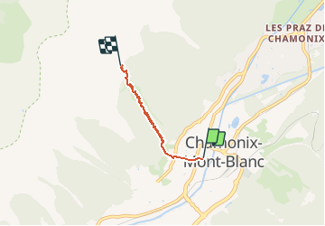

Length
3.4 km

Max alt
2012 m

Uphill gradient
961 m
Km-Effort
13 km

Min alt
1045 m

Downhill gradient
0 m
Boucle
No
Creation date :
2015-06-14 00:00:00.0
Updated on :
2015-06-14 00:00:00.0
59m
Difficulty : Difficult

FREE GPS app for hiking
 SityTrail
IGN / Geographical institutes
SityTrail Plus
The world is yours!
About
Trail Walking of 3.4 km to be discovered at Auvergne-Rhône-Alpes, Upper Savoy, Chamonix-Mont-Blanc. This trail is proposed by mikaelerouzic.
Positioning
Country:
France
Region :
Auvergne-Rhône-Alpes
Department/Province :
Upper Savoy
Municipality :
Chamonix-Mont-Blanc
Location:
Unknown
Start:(Dec)
Start:(UTM)
334759 ; 5087799 (32T) N.
Comments