


Alain Le Plan

ClubAgeHeureux
User
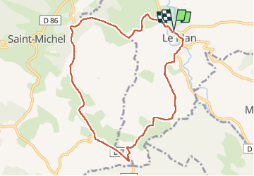

Length
9.9 km

Max alt
367 m

Uphill gradient
164 m
Km-Effort
12.1 km

Min alt
258 m

Downhill gradient
165 m
Boucle
Yes
Creation date :
2025-01-30 13:29:30.803
Updated on :
2025-01-30 15:51:01.114
2h09
Difficulty : Difficult

FREE GPS app for hiking
 SityTrail
IGN / Geographical institutes
SityTrail Plus
The world is yours!
About
Trail Walking of 9.9 km to be discovered at Occitania, Haute-Garonne, Le Plan. This trail is proposed by ClubAgeHeureux.
Positioning
Country:
France
Region :
Occitania
Department/Province :
Haute-Garonne
Municipality :
Le Plan
Location:
Unknown
Start:(Dec)
Start:(UTM)
347095 ; 4781203 (31T) N.
Comments