


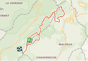


14.6 km | 23 km-effort


User


FREE GPS app for hiking
 SityTrail
IGN / Geographical institutes
SityTrail World
The world is yours!
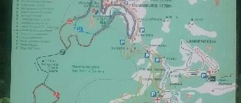
Trail Walking of 19.7 km to be discovered at Bourgogne-Franche-Comté, Haute-Saône, Plancher-les-Mines. This trail is proposed by jeanclaude12.
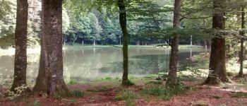
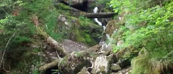
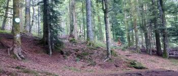
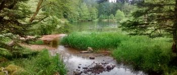
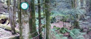
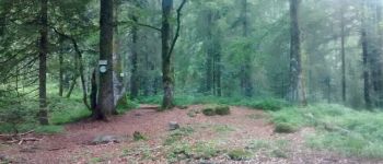
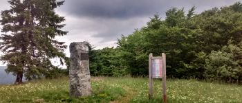
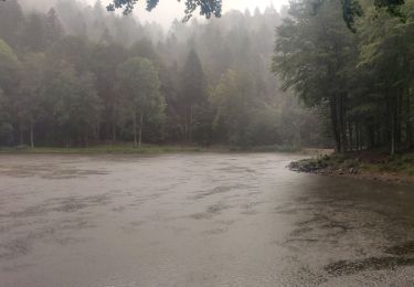
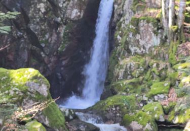
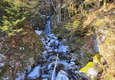
Randonnée permettant de visiter les romantiques étangs du Ballon d'Alsace depuis la Planche des Belles Filles.


Walking

Walking

Walking
Walking

Walking
Walking
Walking
Walking
Walking