


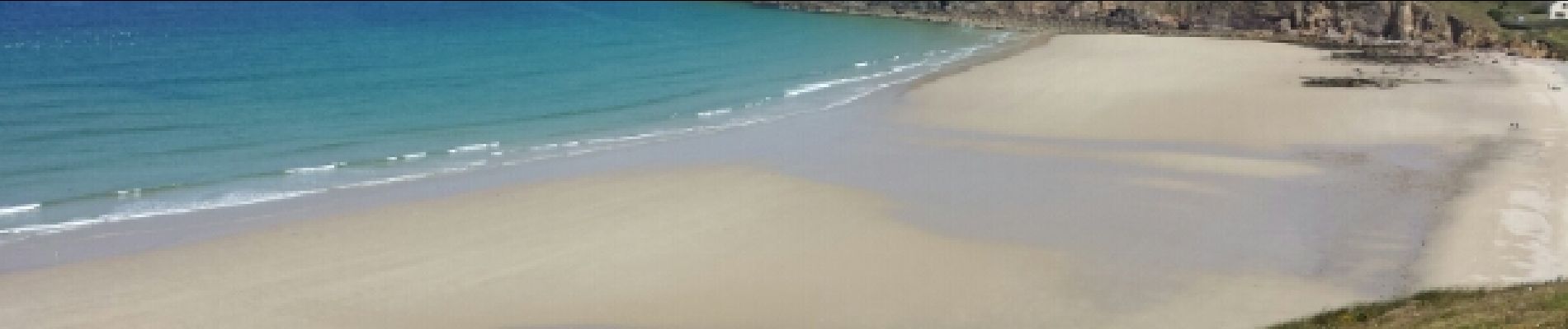
Pointe du Raz et du Van

Benteux
User
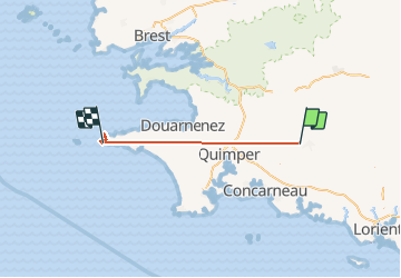

Length
86 km

Max alt
203 m

Uphill gradient
1497 m
Km-Effort
106 km

Min alt
0 m

Downhill gradient
1635 m
Boucle
No
Creation date :
2015-06-15 00:00:00.0
Updated on :
2015-06-15 00:00:00.0
4h56
Difficulty : Medium

FREE GPS app for hiking
 SityTrail
IGN / Geographical institutes
SityTrail Plus
The world is yours!
About
Trail Walking of 86 km to be discovered at Brittany, Finistère, Scaër. This trail is proposed by Benteux.
Photos


Positioning
Country:
France
Region :
Brittany
Department/Province :
Finistère
Municipality :
Scaër
Location:
Unknown
Start:(Dec)
Start:(UTM)
443873 ; 5320343 (30U) N.
Comments