


test siarg

cbr69110
User
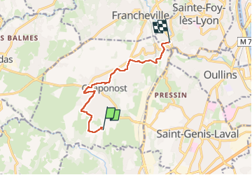

Length
8.4 km

Max alt
327 m

Uphill gradient
68 m
Km-Effort
9.8 km

Min alt
177 m

Downhill gradient
189 m
Boucle
No
Creation date :
2025-02-05 07:36:15.713
Updated on :
2025-02-05 10:50:49.992
3h07
Difficulty : Medium

FREE GPS app for hiking
 SityTrail
IGN / Geographical institutes
SityTrail Plus
The world is yours!
About
Trail Walking of 8.4 km to be discovered at Auvergne-Rhône-Alpes, Rhône, Chaponost. This trail is proposed by cbr69110.
Description
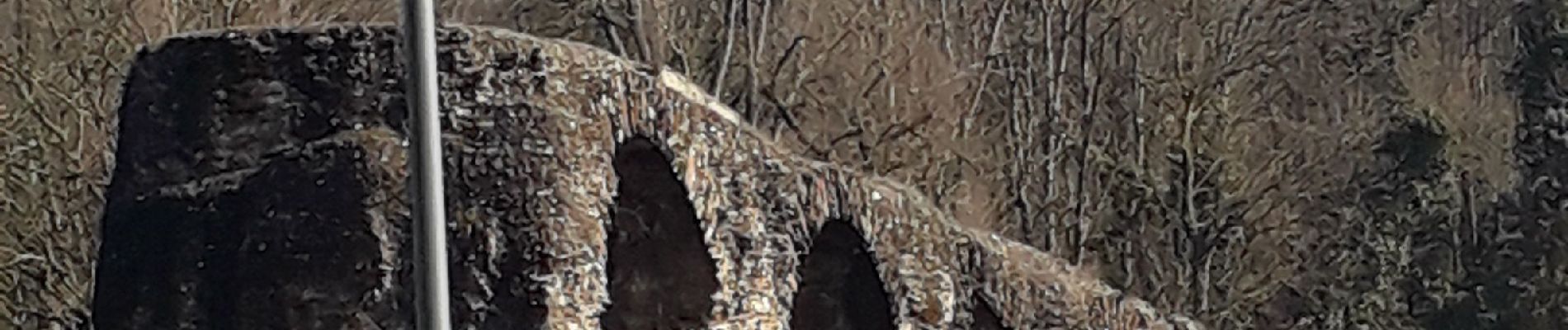
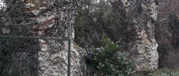
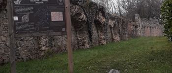
rando Aqueduc
Photos


Positioning
Country:
France
Region :
Auvergne-Rhône-Alpes
Department/Province :
Rhône
Municipality :
Chaponost
Location:
Unknown
Start:(Dec)
Start:(UTM)
635944 ; 5061786 (31T) N.
Comments