


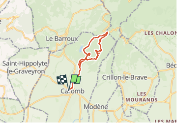
caromb boucle

FLORENSAC
User

Length
11.7 km

Max alt
461 m

Uphill gradient
353 m
Km-Effort
16.4 km

Min alt
195 m

Downhill gradient
354 m
Boucle
Yes
Creation date :
2025-02-05 08:52:25.556
Updated on :
2025-02-05 14:34:31.649
5h39
Difficulty : Difficult

FREE GPS app for hiking
 SityTrail
IGN / Geographical institutes
SityTrail Plus
The world is yours!
About
Trail Walking of 11.7 km to be discovered at Provence-Alpes-Côte d'Azur, Vaucluse, Caromb. This trail is proposed by FLORENSAC.
Description
une jolie boucle en passant vers le col de la madeleine
via le paty
tres beau parcours
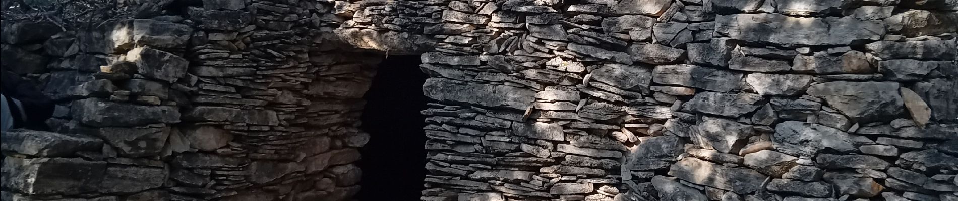
Photos


Positioning
Country:
France
Region :
Provence-Alpes-Côte d'Azur
Department/Province :
Vaucluse
Municipality :
Caromb
Location:
Unknown
Start:(Dec)
Start:(UTM)
668506 ; 4886393 (31T) N.
Comments