


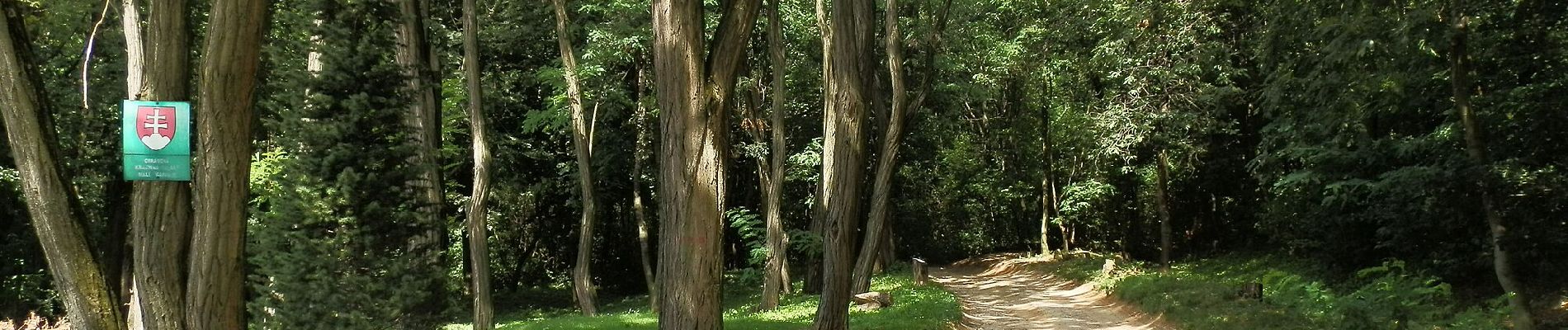
Náučný chodník Katarínka

SityTrail - itinéraires balisés pédestres
Tous les sentiers balisés d’Europe GUIDE+
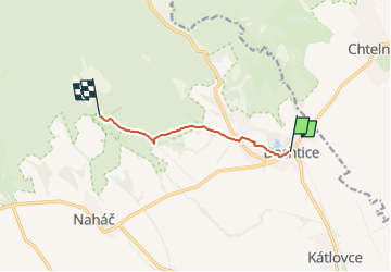

Length
5.3 km

Max alt
360 m

Uphill gradient
177 m
Km-Effort
7.1 km

Min alt
181 m

Downhill gradient
24 m
Boucle
No

Signpost
Creation date :
2025-02-06 14:17:54.404
Updated on :
2025-02-06 14:17:54.404
1h37
Difficulty : Easy

FREE GPS app for hiking
 SityTrail
IGN / Geographical institutes
SityTrail Plus
The world is yours!
About
Trail On foot of 5.3 km to be discovered at Region of Trnava, Unknown, District of Trnava. This trail is proposed by SityTrail - itinéraires balisés pédestres.
Description
Symbol: education
Photos


Positioning
Country:
Slovakia
Region :
Region of Trnava
Department/Province :
Unknown
Municipality :
District of Trnava
Location:
Dechtice
Start:(Dec)
Start:(UTM)
691578 ; 5380408 (33U) N.
Comments