


Tielen-Turnhout 26 km

rvapeldo
User GUIDE
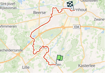

Length
26 km

Max alt
40 m

Uphill gradient
172 m
Km-Effort
28 km

Min alt
11 m

Downhill gradient
159 m
Boucle
No
Creation date :
2025-02-06 07:51:11.0
Updated on :
2025-02-06 15:11:11.906
7h15
Difficulty : Medium

FREE GPS app for hiking
 SityTrail
IGN / Geographical institutes
SityTrail Plus
The world is yours!
About
Trail Walking of 26 km to be discovered at Flanders, Antwerp, Kasterlee. This trail is proposed by rvapeldo.
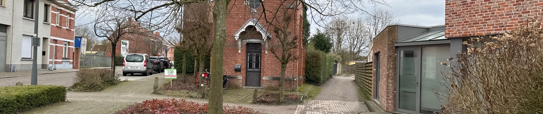
Photos


23 photos in total. Please click on a photo to see them all in the gallery.
Positioning
Country:
Belgium
Region :
Flanders
Department/Province :
Antwerp
Municipality :
Kasterlee
Location:
Tielen
Start:(Dec)
Start:(UTM)
632283 ; 5678493 (31U) N.
Comments