


Murianette

jacky.26sp
User
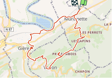

Length
11.6 km

Max alt
614 m

Uphill gradient
447 m
Km-Effort
17.6 km

Min alt
213 m

Downhill gradient
447 m
Boucle
Yes
Creation date :
2025-02-06 13:08:31.604
Updated on :
2025-02-06 16:06:11.933
2h57
Difficulty : Easy

FREE GPS app for hiking
 SityTrail
IGN / Geographical institutes
SityTrail Plus
The world is yours!
About
Trail Walking of 11.6 km to be discovered at Auvergne-Rhône-Alpes, Isère, Murianette. This trail is proposed by jacky.26sp.
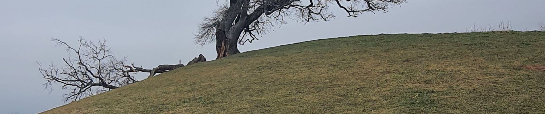
Photos

Positioning
Country:
France
Region :
Auvergne-Rhône-Alpes
Department/Province :
Isère
Municipality :
Murianette
Location:
Unknown
Start:(Dec)
Start:(UTM)
721565 ; 5008480 (31T) N.
Comments