


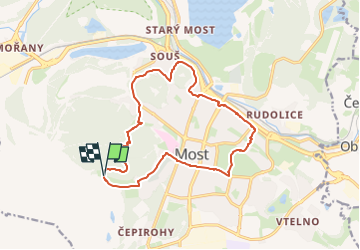
Mostecký okruh

SityTrail - itinéraires balisés pédestres
Tous les sentiers balisés d’Europe GUIDE+

Length
13.8 km

Max alt
415 m

Uphill gradient
339 m
Km-Effort
18.3 km

Min alt
227 m

Downhill gradient
331 m
Boucle
Yes

Signpost
Creation date :
2025-02-07 06:01:45.734
Updated on :
2025-02-07 06:01:45.734
4h09
Difficulty : Easy

FREE GPS app for hiking
 SityTrail
IGN / Geographical institutes
SityTrail Plus
The world is yours!
About
Trail On foot of 13.8 km to be discovered at Northwest, Ústecký kraj, Most. This trail is proposed by SityTrail - itinéraires balisés pédestres.
Description
Trail created by cz:KČT.
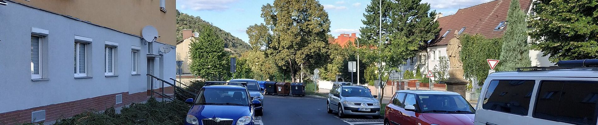
Photos


Positioning
Country:
Czech Republic
Region :
Northwest
Department/Province :
Ústecký kraj
Municipality :
Most
Location:
Unknown
Start:(Dec)
Start:(UTM)
401155 ; 5595012 (33U) N.
Comments