


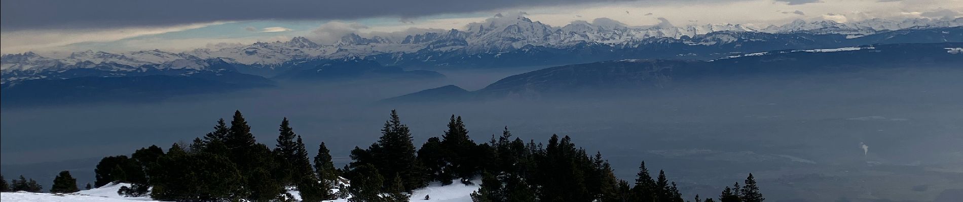
Lelex vers le crêt de la neige

ash
User
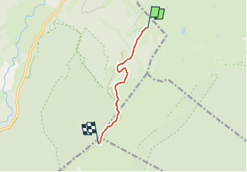

Length
3.2 km

Max alt
1710 m

Uphill gradient
263 m
Km-Effort
5.8 km

Min alt
1444 m

Downhill gradient
4 m
Boucle
No
Creation date :
2025-02-08 11:14:14.0
Updated on :
2025-02-08 14:37:02.703

FREE GPS app for hiking
 SityTrail
IGN / Geographical institutes
SityTrail Plus
The world is yours!
About
Trail of 3.2 km to be discovered at Auvergne-Rhône-Alpes, Ain, Lélex. This trail is proposed by ash.
Photos


Positioning
Country:
France
Region :
Auvergne-Rhône-Alpes
Department/Province :
Ain
Municipality :
Lélex
Location:
Unknown
Start:(Dec)
Start:(UTM)
727849 ; 5130899 (31T) N.
Comments