


Caveirac voie verte

Roger Philippe Wallez
User GUIDE
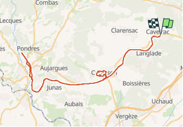

Length
50 km

Max alt
162 m

Uphill gradient
463 m
Km-Effort
56 km

Min alt
26 m

Downhill gradient
463 m
Boucle
Yes
Creation date :
2025-02-14 12:32:06.0
Updated on :
2025-02-14 16:34:54.98
3h54
Difficulty : Very difficult

FREE GPS app for hiking
 SityTrail
IGN / Geographical institutes
SityTrail Plus
The world is yours!
About
Trail Mountain bike of 50 km to be discovered at Occitania, Gard, Caveirac. This trail is proposed by Roger Philippe Wallez.
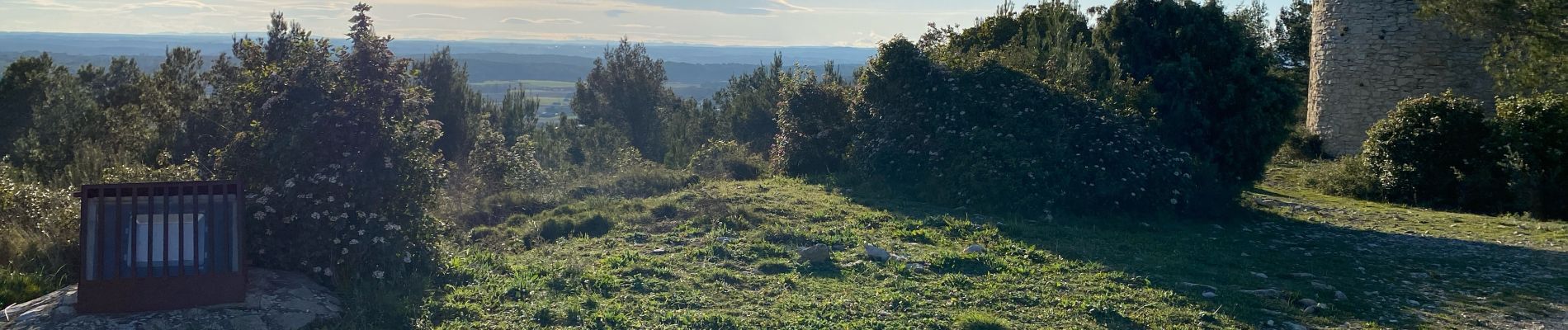
Photos


Positioning
Country:
France
Region :
Occitania
Department/Province :
Gard
Municipality :
Caveirac
Location:
Unknown
Start:(Dec)
Start:(UTM)
601872 ; 4852893 (31T) N.
Comments