


Mont Bouquet

Roger Philippe Wallez
User GUIDE
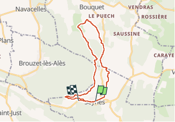

Length
15.9 km

Max alt
627 m

Uphill gradient
548 m
Km-Effort
23 km

Min alt
250 m

Downhill gradient
572 m
Boucle
No
Creation date :
2025-02-15 08:16:46.0
Updated on :
2025-02-16 09:01:25.673
5h57
Difficulty : Very difficult

FREE GPS app for hiking
 SityTrail
IGN / Geographical institutes
SityTrail Plus
The world is yours!
About
Trail Walking of 15.9 km to be discovered at Occitania, Gard, Seynes. This trail is proposed by Roger Philippe Wallez.
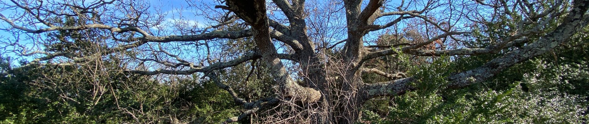
Photos


Positioning
Country:
France
Region :
Occitania
Department/Province :
Gard
Municipality :
Seynes
Location:
Unknown
Start:(Dec)
Start:(UTM)
602846 ; 4885633 (31T) N.
Comments