


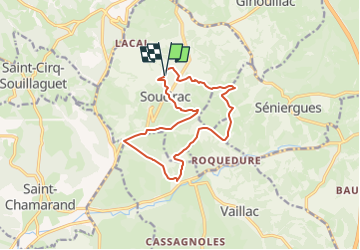
Soucirac(Lot)

houbart
User

Length
13.4 km

Max alt
405 m

Uphill gradient
347 m
Km-Effort
18 km

Min alt
262 m

Downhill gradient
349 m
Boucle
Yes
Creation date :
2025-02-16 11:58:11.146
Updated on :
2025-02-16 11:58:55.067
4h05
Difficulty : Difficult

FREE GPS app for hiking
 SityTrail
IGN / Geographical institutes
SityTrail Plus
The world is yours!
About
Trail Walking of 13.4 km to be discovered at Occitania, Lot, Soucirac. This trail is proposed by houbart.
Positioning
Country:
France
Region :
Occitania
Department/Province :
Lot
Municipality :
Soucirac
Location:
Unknown
Start:(Dec)
Start:(UTM)
381451 ; 4951512 (31T) N.
Comments