


la roche des vents

cousam
User
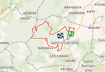

Length
17 km

Max alt
1012 m

Uphill gradient
654 m
Km-Effort
26 km

Min alt
461 m

Downhill gradient
636 m
Boucle
No
Creation date :
2025-02-16 09:05:12.777
Updated on :
2025-02-16 14:17:34.809
5h11
Difficulty : Medium

FREE GPS app for hiking
 SityTrail
IGN / Geographical institutes
SityTrail Plus
The world is yours!
About
Trail Walking of 17 km to be discovered at Auvergne-Rhône-Alpes, Ardèche, Saint-Alban-d'Ay. This trail is proposed by cousam.
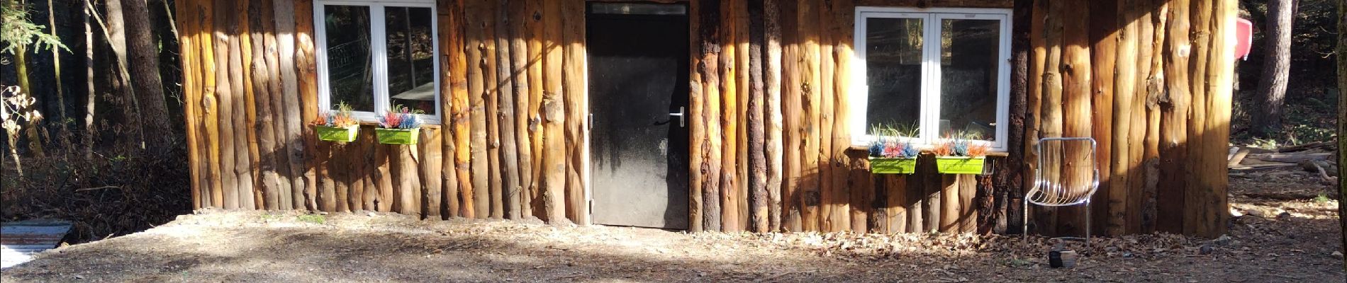
Photos


Positioning
Country:
France
Region :
Auvergne-Rhône-Alpes
Department/Province :
Ardèche
Municipality :
Saint-Alban-d'Ay
Location:
Unknown
Start:(Dec)
Start:(UTM)
628810 ; 5005256 (31T) N.
Comments