


Saint-Zacharie

jpblimond
User
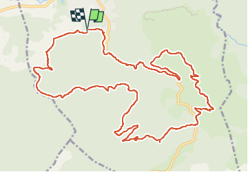

Length
16.2 km

Max alt
556 m

Uphill gradient
495 m
Km-Effort
23 km

Min alt
269 m

Downhill gradient
498 m
Boucle
Yes
Creation date :
2025-02-18 11:57:02.0
Updated on :
2025-02-18 16:29:20.773
4h31
Difficulty : Medium

FREE GPS app for hiking
 SityTrail
IGN / Geographical institutes
SityTrail Plus
The world is yours!
About
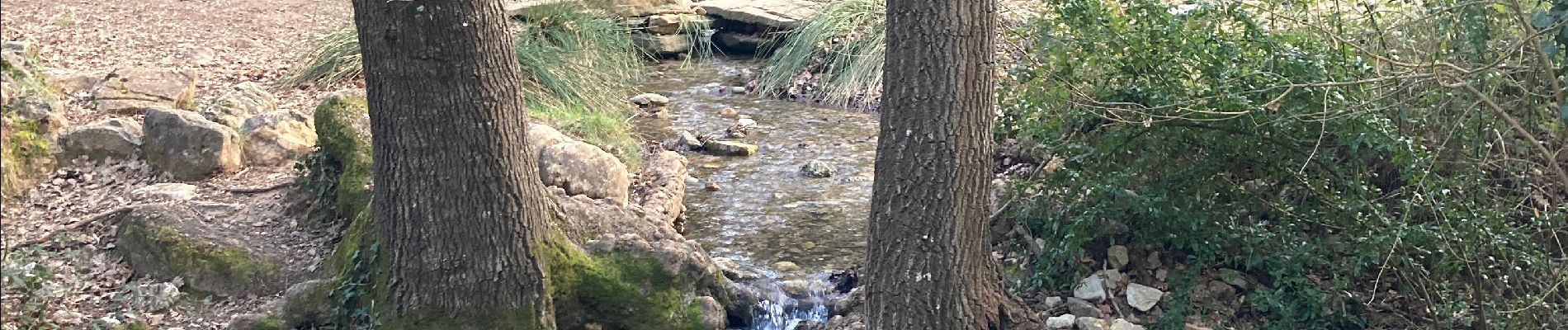
Trail Walking of 16.2 km to be discovered at Provence-Alpes-Côte d'Azur, Var, Saint-Zacharie. This trail is proposed by jpblimond.
Photos


Positioning
Country:
France
Region :
Provence-Alpes-Côte d'Azur
Department/Province :
Var
Municipality :
Saint-Zacharie
Location:
Unknown
Start:(Dec)
Start:(UTM)
719372 ; 4805908 (31T) N.
Comments