


Châlonvillars - fort d'Essert - fort du Salbert

Bart2015
User
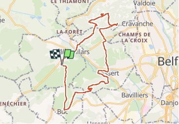

Length
18.5 km

Max alt
641 m

Uphill gradient
524 m
Km-Effort
25 km

Min alt
354 m

Downhill gradient
525 m
Boucle
Yes
Creation date :
2025-02-19 13:35:52.802
Updated on :
2025-03-05 07:09:51.179
5h47
Difficulty : Very difficult

FREE GPS app for hiking
 SityTrail
IGN / Geographical institutes
SityTrail Plus
The world is yours!
About
Trail Walking of 18.5 km to be discovered at Bourgogne-Franche-Comté, Haute-Saône, Châlonvillars. This trail is proposed by Bart2015.
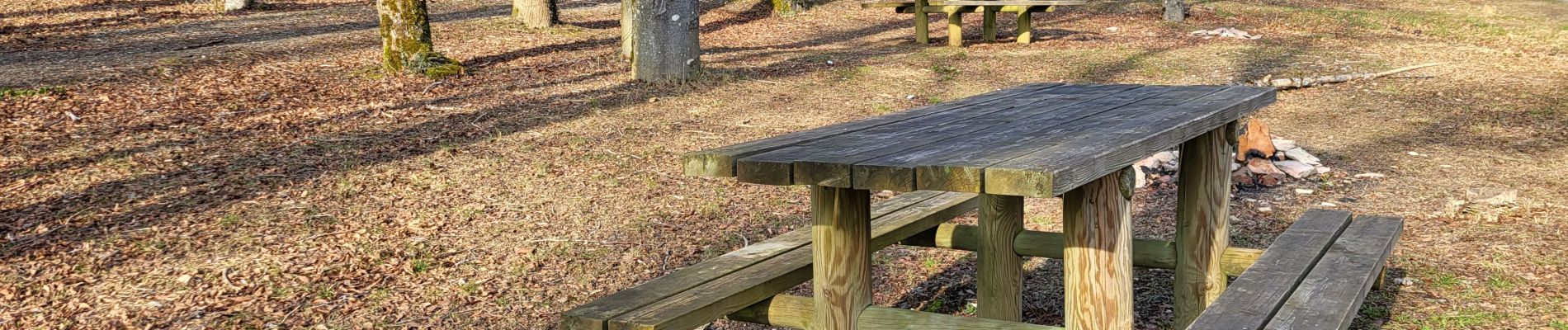
Photos


Positioning
Country:
France
Region :
Bourgogne-Franche-Comté
Department/Province :
Haute-Saône
Municipality :
Châlonvillars
Location:
Unknown
Start:(Dec)
Start:(UTM)
333602 ; 5278231 (32T) N.
Comments