


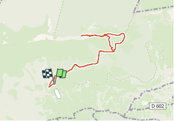
Soum d'Andorre

chasle
User

Length
9 km

Max alt
1673 m

Uphill gradient
651 m
Km-Effort
17.6 km

Min alt
1060 m

Downhill gradient
648 m
Boucle
Yes
Creation date :
2025-02-20 08:40:07.188
Updated on :
2025-02-20 16:32:33.244
4h00
Difficulty : Difficult

FREE GPS app for hiking
 SityTrail
IGN / Geographical institutes
SityTrail Plus
The world is yours!
About
Trail Walking of 9 km to be discovered at Occitania, Hautespyrenees, Salles. This trail is proposed by chasle.
Positioning
Country:
France
Region :
Occitania
Department/Province :
Hautespyrenees
Municipality :
Salles
Location:
Unknown
Start:(Dec)
Start:(UTM)
729858 ; 4767127 (30T) N.
Comments