


Eguilles

Roger Philippe Wallez
User GUIDE
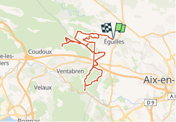

Length
38 km

Max alt
307 m

Uphill gradient
528 m
Km-Effort
45 km

Min alt
145 m

Downhill gradient
528 m
Boucle
Yes
Creation date :
2025-02-22 09:39:45.0
Updated on :
2025-02-22 15:46:55.917
5h36
Difficulty : Very difficult

FREE GPS app for hiking
 SityTrail
IGN / Geographical institutes
SityTrail Plus
The world is yours!
About
Trail Mountain bike of 38 km to be discovered at Provence-Alpes-Côte d'Azur, Bouches-du-Rhône, Éguilles. This trail is proposed by Roger Philippe Wallez.
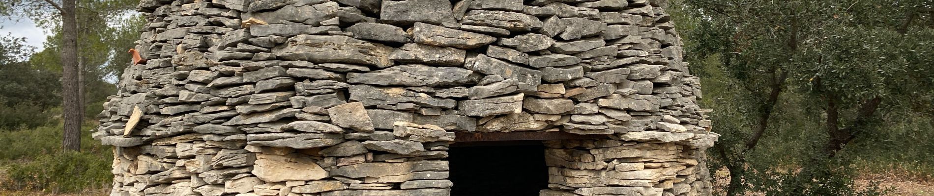
Photos


Positioning
Country:
France
Region :
Provence-Alpes-Côte d'Azur
Department/Province :
Bouches-du-Rhône
Municipality :
Éguilles
Location:
Unknown
Start:(Dec)
Start:(UTM)
690035 ; 4826937 (31T) N.
Comments