


Pla de l'Arcouade

chasle
User
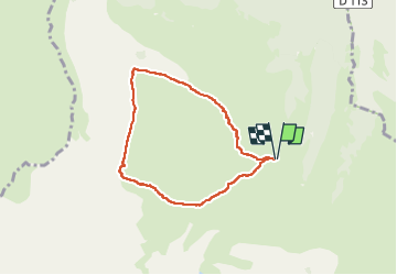

Length
6.6 km

Max alt
1906 m

Uphill gradient
553 m
Km-Effort
13.9 km

Min alt
1419 m

Downhill gradient
552 m
Boucle
Yes
Creation date :
2025-02-23 08:03:11.654
Updated on :
2025-02-23 16:02:11.7
2h59
Difficulty : Difficult

FREE GPS app for hiking
 SityTrail
IGN / Geographical institutes
SityTrail Plus
The world is yours!
About
Trail Walking of 6.6 km to be discovered at Occitania, Hautespyrenees, Ancizan. This trail is proposed by chasle.
Positioning
Country:
France
Region :
Occitania
Department/Province :
Hautespyrenees
Municipality :
Ancizan
Location:
Unknown
Start:(Dec)
Start:(UTM)
278071 ; 4754222 (31T) N.
Comments