


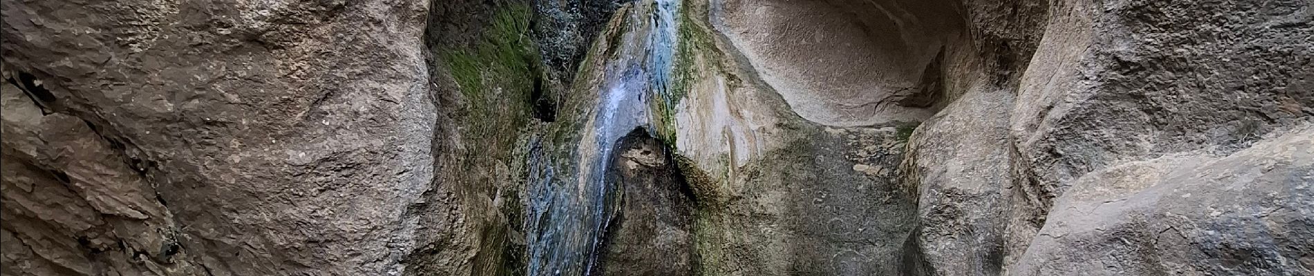
les dentelles ...la cascade

bymarc26
User
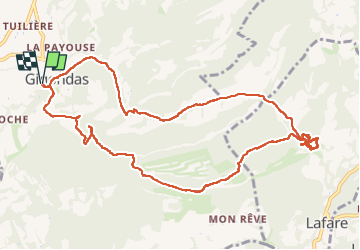

Length
12.9 km

Max alt
549 m

Uphill gradient
646 m
Km-Effort
21 km

Min alt
208 m

Downhill gradient
646 m
Boucle
Yes
Creation date :
2025-02-27 08:15:59.781
Updated on :
2025-02-28 07:02:57.514
4h00
Difficulty : Medium

FREE GPS app for hiking
 SityTrail
IGN / Geographical institutes
SityTrail Plus
The world is yours!
About
Trail Walking of 12.9 km to be discovered at Provence-Alpes-Côte d'Azur, Vaucluse, Gigondas. This trail is proposed by bymarc26.
Photos


Positioning
Country:
France
Region :
Provence-Alpes-Côte d'Azur
Department/Province :
Vaucluse
Municipality :
Gigondas
Location:
Unknown
Start:(Dec)
Start:(UTM)
660130 ; 4891982 (31T) N.
Comments