


Saint Laurent le minier Pic d’Anjeau

Roger Philippe Wallez
User GUIDE
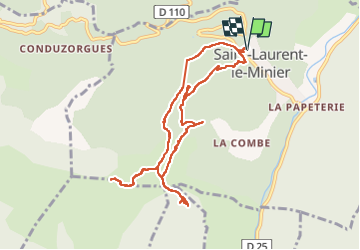

Length
10.2 km

Max alt
849 m

Uphill gradient
732 m
Km-Effort
20 km

Min alt
189 m

Downhill gradient
729 m
Boucle
Yes
Creation date :
2025-02-27 08:26:13.0
Updated on :
2025-02-28 09:35:44.426
6h04
Difficulty : Very difficult

FREE GPS app for hiking
 SityTrail
IGN / Geographical institutes
SityTrail Plus
The world is yours!
About
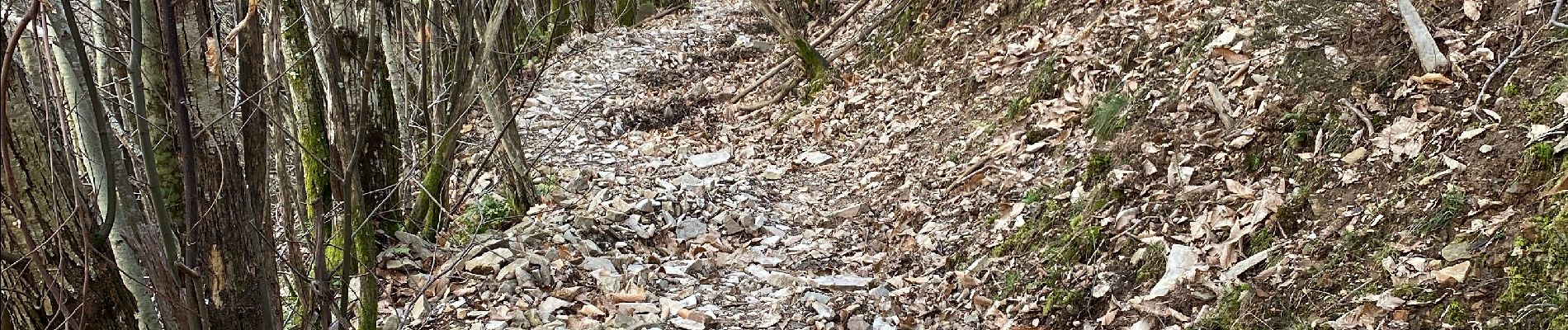
Trail Walking of 10.2 km to be discovered at Occitania, Gard, Saint-Laurent-le-Minier. This trail is proposed by Roger Philippe Wallez.
Photos


Positioning
Country:
France
Region :
Occitania
Department/Province :
Gard
Municipality :
Saint-Laurent-le-Minier
Location:
Unknown
Start:(Dec)
Start:(UTM)
552472 ; 4864578 (31T) N.
Comments