


280225 Pointe de la Sallaz

mzonzon05
User


4h00
Difficulty : Very easy

FREE GPS app for hiking
 SityTrail
IGN / Geographical institutes
SityTrail Plus
The world is yours!
About
Trail Touring skiing of 8.7 km to be discovered at Auvergne-Rhône-Alpes, Upper Savoy, Nancy-sur-Cluses. This trail is proposed by mzonzon05.
Description
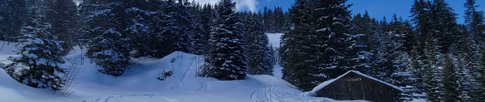
Randonnée très agréable notamment quand la neige vient à manquer car la montée se fait au nord et la neige reste froide.
Après une très belle montée facile en forêt sur sentier, la vue se dégage sur les alentours, superbe : Pointe percée, Mont Blanc, l'aiguille verte ? ... et de beaux vallons en manteaux blancs fraîchement repassés.
A faire absolument, régalade assurée !
Photos


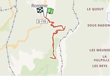
Positioning
Comments