


ARGRMARS25

JMCMoreau
User

Length
9.1 km

Max alt
88 m

Uphill gradient
96 m
Km-Effort
10.4 km

Min alt
44 m

Downhill gradient
99 m
Boucle
Yes
Creation date :
2025-03-02 08:07:55.948
Updated on :
2025-03-02 10:42:46.147
2h34
Difficulty : Easy

FREE GPS app for hiking
 SityTrail
IGN / Geographical institutes
SityTrail Plus
The world is yours!
About
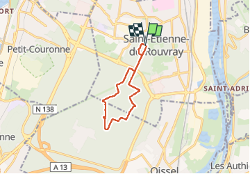
Trail Walking of 9.1 km to be discovered at Normandy, Seine-Maritime, Saint-Étienne-du-Rouvray. This trail is proposed by JMCMoreau.
Positioning
Country:
France
Region :
Normandy
Department/Province :
Seine-Maritime
Municipality :
Saint-Étienne-du-Rouvray
Location:
Unknown
Start:(Dec)
Start:(UTM)
361086 ; 5471778 (31U) N.
Comments