


Le Rouveiret (Digne les bains 04)

Clo0413
User
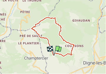

Length
15.1 km

Max alt
1103 m

Uphill gradient
550 m
Km-Effort
22 km

Min alt
661 m

Downhill gradient
550 m
Boucle
Yes
Creation date :
2025-03-03 08:19:00.282
Updated on :
2025-03-05 16:16:19.344
4h12
Difficulty : Medium

FREE GPS app for hiking
 SityTrail
IGN / Geographical institutes
SityTrail Plus
The world is yours!
About
Trail Walking of 15.1 km to be discovered at Provence-Alpes-Côte d'Azur, Alpes-de-Haute-Provence, Digne-les-Bains. This trail is proposed by Clo0413.
Positioning
Country:
France
Region :
Provence-Alpes-Côte d'Azur
Department/Province :
Alpes-de-Haute-Provence
Municipality :
Digne-les-Bains
Location:
Unknown
Start:(Dec)
Start:(UTM)
274543 ; 4886612 (32T) N.
Comments