


De Chantraine à Bouzey

jeanclaude12
User
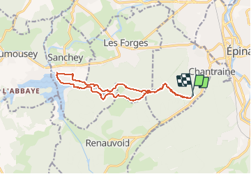

Length
14.6 km

Max alt
460 m

Uphill gradient
275 m
Km-Effort
18.2 km

Min alt
365 m

Downhill gradient
273 m
Boucle
Yes
Creation date :
2015-06-23 00:00:00.0
Updated on :
2015-06-23 00:00:00.0
3h47
Difficulty : Easy

FREE GPS app for hiking
 SityTrail
IGN / Geographical institutes
SityTrail Plus
The world is yours!
About
Trail Walking of 14.6 km to be discovered at Grand Est, Vosges, Chantraine. This trail is proposed by jeanclaude12.
Description
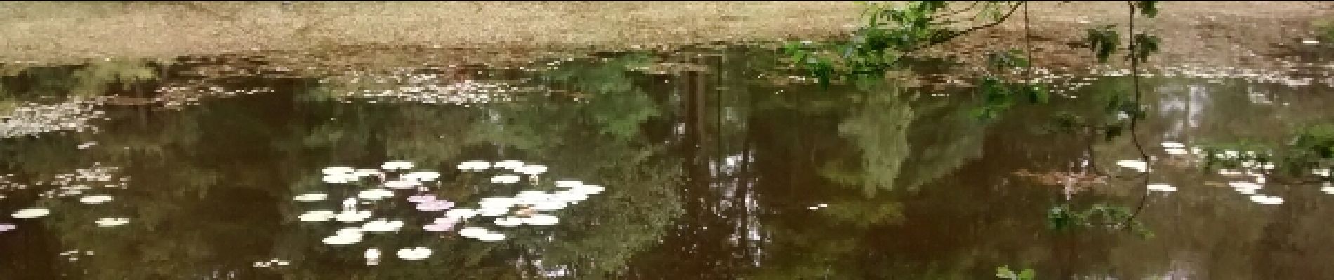
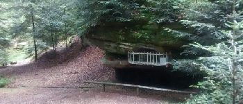
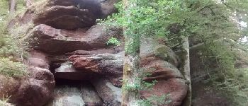
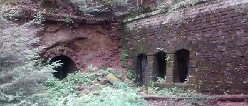
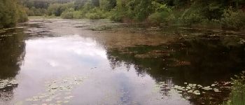
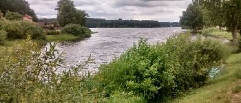
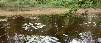
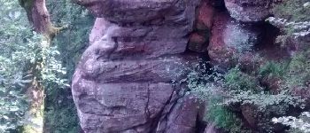
Randonnée très agréable vers Les Roches d'Olima, l'Etang de la Comtesse et sa Tourbière remarquable pour arriver sur le Lac de Bouzey.
Photos


Points of interest

Positioning
Country:
France
Region :
Grand Est
Department/Province :
Vosges
Municipality :
Chantraine
Location:
Unknown
Start:(Dec)
Start:(UTM)
308604 ; 5337219 (32U) N.
Comments