Trail Walking Chantraine - De Chantraine à Bouzey - Photo

De Chantraine à Bouzey

© OpenStreetMap contributors
Length
Length
14.6 km
Max alt
Max alt
460 m
Uphill gradient
Uphill gradient
275 m
Km-Effort
Km-Effort  
18.2 km
Min alt
Min alt
365 m
Downhill gradient
Downhill gradient
273 m
Boucle
Boucle
Yes
Creation date :
2015-06-23 00:00:00.0
Updated on :
2015-06-23 00:00:00.0

(0 Reviews)

Walking
Walking
3h47
Difficulty : Easy

Scan this QR Code to open this trail in the SityTrail application

FREE GPS app for hiking

Logo SityTrail SityTrail

IGN / Geographical institutes

Download SityTrail from the App Store Download SityTrail from Google Play

Logo SityTrail SityTrail World

The world is yours!

Download SityTrail from the App Store Download SityTrail from Google Play Download SityTrail on Huawei AppGallery

About

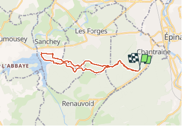
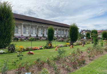
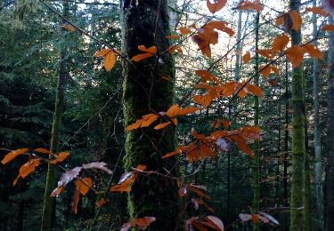
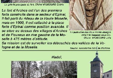
Trail Walking of 14.6 km to be discovered at Grand Est, Vosges, Chantraine. This trail is proposed by jeanclaude12.

Description

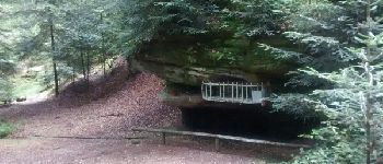
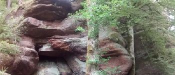
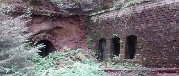
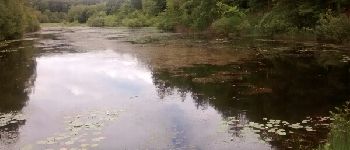
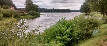
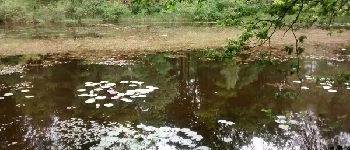
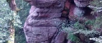
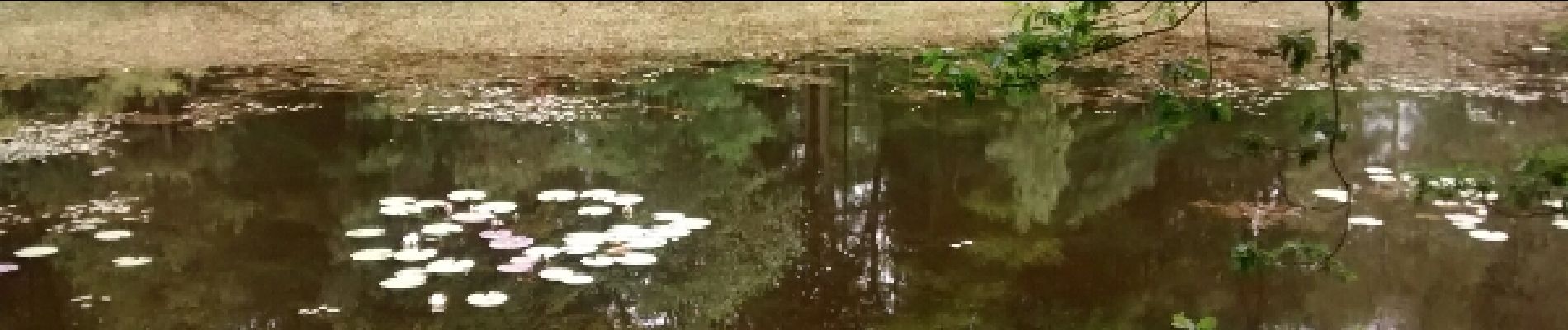
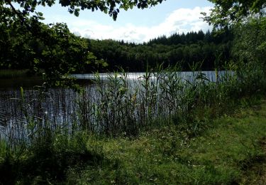
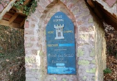
Randonnée très agréable vers Les Roches d'Olima, l'Etang de la Comtesse et sa Tourbière remarquable pour arriver sur le Lac de Bouzey.

Elevation profile

Photos

Points of interest

Point of interest Chantraine - Notre-Dame des 3 Vallées - Photo
jeanclaude12
Point of interest Les Forges - Roches d'Olima - Photo
jeanclaude12
LES FORGES 
Point of interest Les Forges - La Poudrière d'Olima - Photo
jeanclaude12
Point of interest Les Forges - Etang de la Comtesse - Photo
jeanclaude12
Point of interest Sanchey - Lac de Bouzey - Photo
jeanclaude12
SANCHEY 
Point of interest Les Forges - Nuphars de l'Etang de la Comtesse - Photo
jeanclaude12
Point of interest Les Forges - Olima - Photo
jeanclaude12
LES FORGES 

Positioning

Country:
France
Region :
Grand Est
Department/Province :
Vosges
Municipality :
Chantraine
Location:
Unknown
Start:(UTM)
308604 ; 5337219 (32U) N.

Trails nearby

Trail sport Épinal - Golbey - Photo
sport
lebregien

sport

Very easy
(1)
Épinal, Grand Est, Vosges, France
7.1 km | 7.8 km-effort
Unknown
Yes
Trail Walking Épinal - Epinal - Photo
Walking
FOUCAULT

Walking

Épinal, Grand Est, Vosges, France
9.3 km | 10.7 km-effort
3h 0min
Yes
Trail Walking Épinal - humbertois les ,2lacs - Photo
Walking
BernardHumeau

Walking

Medium
Épinal, Grand Est, Vosges, France
7.3 km | 8.9 km-effort
1h 55min
Yes
Trail Road bike Épinal - epinal florémont bouxières - Photo
Road bike
GuySimonin

Road bike

Medium
(1)
Épinal, Grand Est, Vosges, France
93 km | 110 km-effort
6h 26min
Yes
Trail Walking Épinal - ste Barbe - Photo
Walking
BernardHumeau

Walking

Very easy
Épinal, Grand Est, Vosges, France
6.7 km | 9 km-effort
1h 55min
Yes
Trail Walking Épinal - 2016 03 22 - Photo
Walking
michelbauby

Walking

Easy
Épinal, Grand Est, Vosges, France
8.9 km | 12.4 km-effort
3h 8min
Yes
Trail Other activity Épinal - Grand Est - Ligne 18 - Epinal St Diè - Photo
Other activity
mich54

Other activity

Very easy
Épinal, Grand Est, Vosges, France
61 km | 68 km-effort
5min
No
Trail Other activity Épinal - Grand Est - Ligne 18,7 - Epinal Remiremont - Photo
Other activity
mich54

Other activity

Very easy
Épinal, Grand Est, Vosges, France
27 km | 31 km-effort
5min
No
Trail Walking Sanchey - A la Découverte de BOUZEY - Photo
Walking
jeanclaude12

Walking

Very easy
Sanchey, Grand Est, Vosges, France
7.7 km | 9.3 km-effort
2h 4min
Yes


Close
My subscriptions