


Beaumes de venise rocalinaud,les courens

FLORENSAC
User
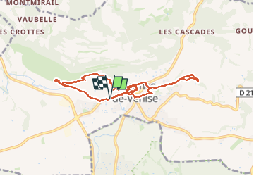

Length
9.3 km

Max alt
170 m

Uphill gradient
215 m
Km-Effort
12.2 km

Min alt
80 m

Downhill gradient
214 m
Boucle
Yes
Creation date :
2025-03-04 09:12:38.209
Updated on :
2025-03-04 15:00:45.542
5h47
Difficulty : Difficult

FREE GPS app for hiking
 SityTrail
IGN / Geographical institutes
SityTrail Plus
The world is yours!
About
Trail Walking of 9.3 km to be discovered at Provence-Alpes-Côte d'Azur, Vaucluse, Beaumes-de-Venise. This trail is proposed by FLORENSAC.
Description
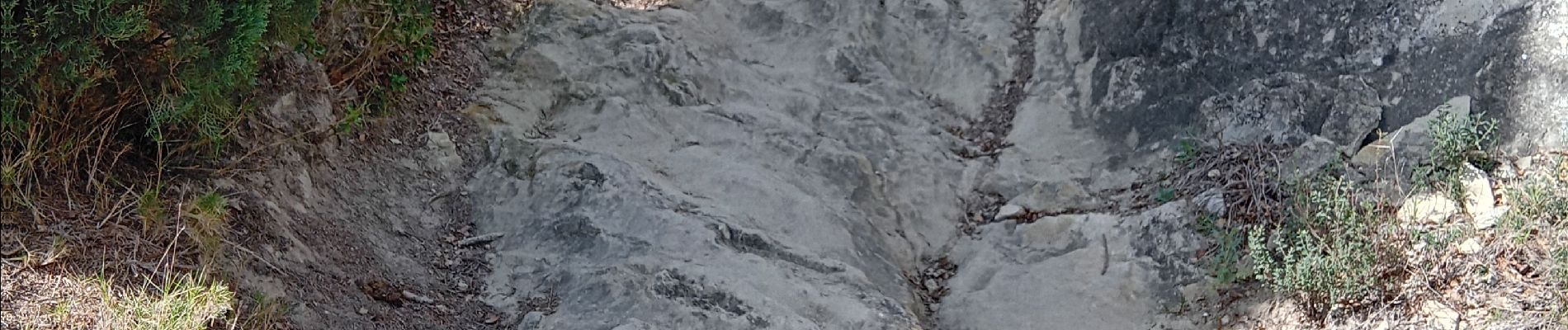
une jolie boucle en passant par notre Dame d Aubunes
et les vergers du courens
visite du village
Photos


Positioning
Country:
France
Region :
Provence-Alpes-Côte d'Azur
Department/Province :
Vaucluse
Municipality :
Beaumes-de-Venise
Location:
Unknown
Start:(Dec)
Start:(UTM)
661961 ; 4887264 (31T) N.
Comments