


LES CROIX BASSES

walrou63
User
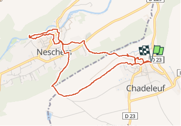

Length
5.4 km

Max alt
473 m

Uphill gradient
122 m
Km-Effort
7.1 km

Min alt
398 m

Downhill gradient
123 m
Boucle
Yes
Creation date :
2025-03-05 13:33:22.217
Updated on :
2025-03-06 09:12:46.483
1h36
Difficulty : Medium

FREE GPS app for hiking
 SityTrail
IGN / Geographical institutes
SityTrail Plus
The world is yours!
About
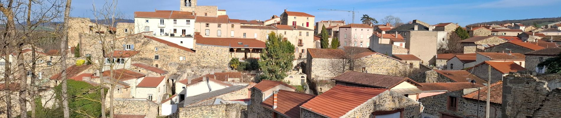
Trail Walking of 5.4 km to be discovered at Auvergne-Rhône-Alpes, Puy-de-Dôme, Chadeleuf. This trail is proposed by walrou63.
Description
Circuit de Chamina effectué à l'envers
Photos


Positioning
Country:
France
Region :
Auvergne-Rhône-Alpes
Department/Province :
Puy-de-Dôme
Municipality :
Chadeleuf
Location:
Unknown
Start:(Dec)
Start:(UTM)
514059 ; 5048265 (31T) N.
Comments