


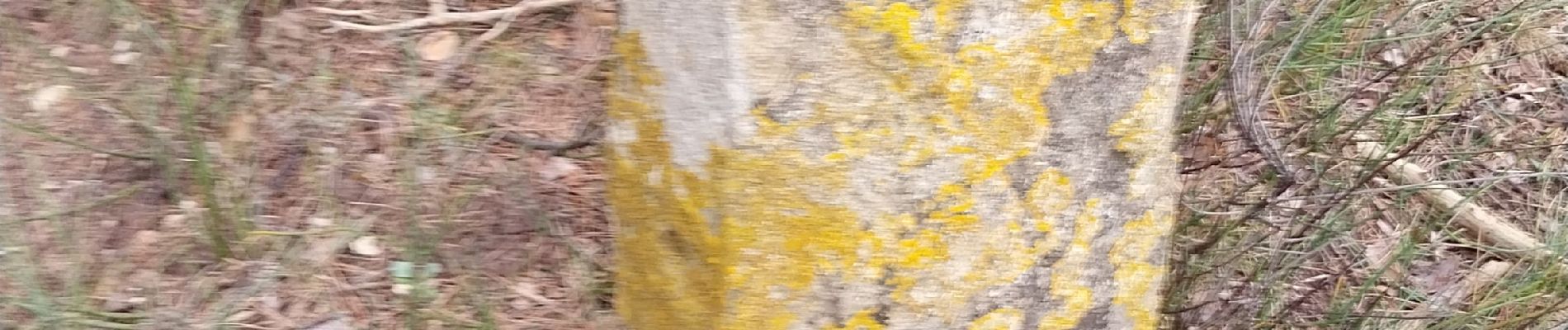
borne papale

micheleuvrard
User
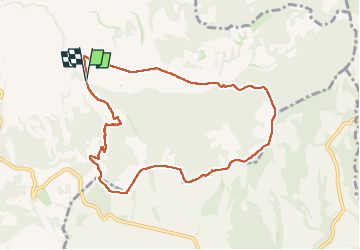

Length
9.2 km

Max alt
480 m

Uphill gradient
232 m
Km-Effort
12.3 km

Min alt
295 m

Downhill gradient
236 m
Boucle
Yes
Creation date :
2025-03-06 13:12:42.642
Updated on :
2025-03-06 15:59:43.052
2h46
Difficulty : Difficult

FREE GPS app for hiking
 SityTrail
IGN / Geographical institutes
SityTrail Plus
The world is yours!
About
Trail Walking of 9.2 km to be discovered at Provence-Alpes-Côte d'Azur, Vaucluse, Valréas. This trail is proposed by micheleuvrard.
Photos


Positioning
Country:
France
Region :
Provence-Alpes-Côte d'Azur
Department/Province :
Vaucluse
Municipality :
Valréas
Location:
Unknown
Start:(Dec)
Start:(UTM)
661366 ; 4915499 (31T) N.
Comments