


Gerbépal

francoisecarlier
User
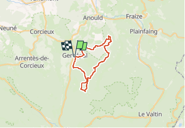

Length
20 km

Max alt
977 m

Uphill gradient
632 m
Km-Effort
29 km

Min alt
633 m

Downhill gradient
633 m
Boucle
Yes
Creation date :
2025-03-08 10:14:57.0
Updated on :
2025-03-08 15:31:17.14

FREE GPS app for hiking
 SityTrail
IGN / Geographical institutes
SityTrail Plus
The world is yours!
About
Trail of 20 km to be discovered at Grand Est, Vosges, Gerbépal. This trail is proposed by francoisecarlier.
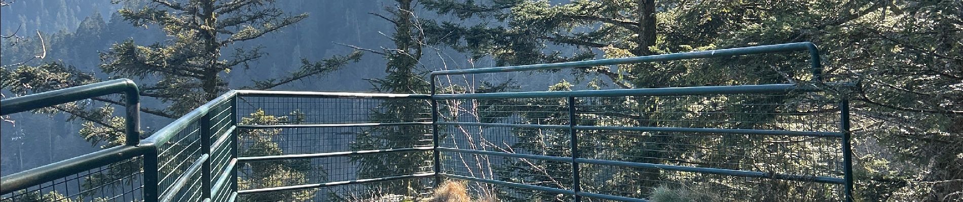
Photos


Positioning
Country:
France
Region :
Grand Est
Department/Province :
Vosges
Municipality :
Gerbépal
Location:
Unknown
Start:(Dec)
Start:(UTM)
345477 ; 5335028 (32U) N.
Comments