


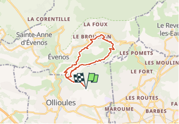
le Broussan par le reservoir du Croupatier

bernir
User

Length
13.5 km

Max alt
510 m

Uphill gradient
485 m
Km-Effort
19.9 km

Min alt
174 m

Downhill gradient
485 m
Boucle
Yes
Creation date :
2025-03-06 08:30:37.201
Updated on :
2025-03-09 14:58:47.578
4h31
Difficulty : Difficult

FREE GPS app for hiking
 SityTrail
IGN / Geographical institutes
SityTrail Plus
The world is yours!
About
Trail Walking of 13.5 km to be discovered at Provence-Alpes-Côte d'Azur, Var, Ollioules. This trail is proposed by bernir.
Positioning
Country:
France
Region :
Provence-Alpes-Côte d'Azur
Department/Province :
Var
Municipality :
Ollioules
Location:
Unknown
Start:(Dec)
Start:(UTM)
733063 ; 4781082 (31T) N.
Comments