


Le long de la Bruche et de son canal

Claudele
User


Length
5.5 km

Max alt
173 m

Uphill gradient
26 m
Km-Effort
5.8 km

Min alt
162 m

Downhill gradient
25 m
Boucle
Yes
Creation date :
2025-03-09 09:03:24.868
Updated on :
2025-03-24 13:45:03.861
1h49
Difficulty : Easy

FREE GPS app for hiking
 SityTrail
IGN / Geographical institutes
SityTrail Plus
The world is yours!
About
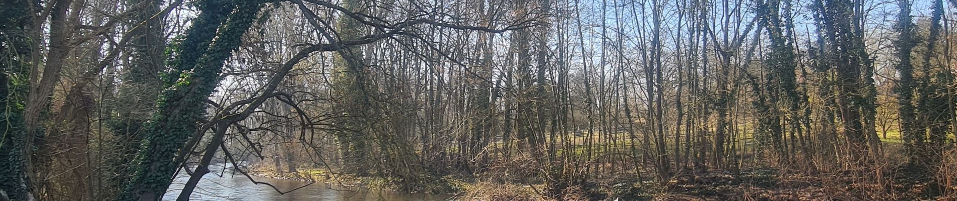
Trail Walking of 5.5 km to be discovered at Grand Est, Bas-Rhin, Molsheim. This trail is proposed by Claudele.
Photos


Positioning
Country:
France
Region :
Grand Est
Department/Province :
Bas-Rhin
Municipality :
Molsheim
Location:
Unknown
Start:(Dec)
Start:(UTM)
389644 ; 5379243 (32U) N.
Comments