Trail Walking Reinhardsmunster - Reinhardsmunster - château Ochsenstein - tour du Brotsch - Photo

Reinhardsmunster - château Ochsenstein - tour du Brotsch

 Bart2015
Bart2015

User

© OpenStreetMap contributors
Length
Length
21 km
Max alt
Max alt
612 m
Uphill gradient
Uphill gradient
951 m
Km-Effort
Km-Effort  
34 km
Min alt
Min alt
231 m
Downhill gradient
Downhill gradient
952 m
Boucle
Boucle
Yes
Creation date :
2025-03-09 08:53:41.379
Updated on :
2025-03-12 07:51:54.492

(0 Reviews)

Walking
Walking
7h43
Difficulty : Very difficult

Scan this QR Code to open this trail in the SityTrail application

FREE GPS app for hiking

Logo SityTrail SityTrail

IGN / Geographical institutes

Download SityTrail from the App Store Download SityTrail from Google Play

Logo SityTrail SityTrail Plus

The world is yours!

Download SityTrail from the App Store Download SityTrail from Google Play Download SityTrail on Huawei AppGallery

About

Trail Walking of 21 km to be discovered at Grand Est, Bas-Rhin, Reinhardsmunster. This trail is proposed by Bart2015.

Description

Belle randonnée sauvage avec de nombreux rochers emblématiques de la région : Geissfels, la Spill, Krappenfels, grotte du Brotsch, rocher du Hibou, ... et ses nombreuses vues sur  la région et notamment le Dabo.
Bonne randonnée, soyez prudents ...
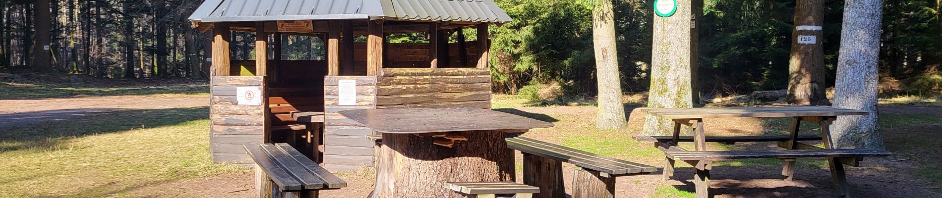
Elevation profile

Photos

22 photos in total. Please click on a photo to see them all in the gallery.

Positioning

Country:
France
Region :
Grand Est
Department/Province :
Bas-Rhin
Municipality :
Reinhardsmunster
Location:
Unknown
Start:(UTM)
376031 ; 5392597 (32U) N.


Close
My subscriptions