


cande sur beuvron

mimilolo
User

Length
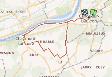
17.4 km

Max alt
121 m

Uphill gradient
115 m
Km-Effort
18.9 km

Min alt
60 m

Downhill gradient
116 m
Boucle
Yes
Creation date :
2025-03-11 07:28:29.595
Updated on :
2025-03-11 14:40:52.391
4h00
Difficulty : Very easy

FREE GPS app for hiking
 SityTrail
IGN / Geographical institutes
SityTrail Plus
The world is yours!
About
Trail Walking of 17.4 km to be discovered at Centre-Loire Valley, Loir-et-Cher, Candé-sur-Beuvron. This trail is proposed by mimilolo.
Description
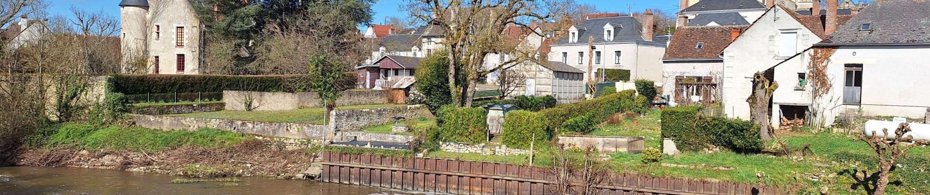
départ parking bord du beuvron
Photos


Positioning
Country:
France
Region :
Centre-Loire Valley
Department/Province :
Loir-et-Cher
Municipality :
Candé-sur-Beuvron
Location:
Unknown
Start:(Dec)
Start:(UTM)
368969 ; 5261580 (31T) N.
Comments