


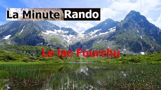
Lac fourchu - valette - Description et vidéo

bob2023
User


3h25
Difficulty : Medium

FREE GPS app for hiking
 SityTrail
IGN / Geographical institutes
SityTrail Plus
The world is yours!
About
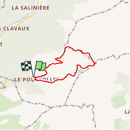
Trail Walking of 10.2 km to be discovered at Auvergne-Rhône-Alpes, Isère, Livet-et-Gavet. This trail is proposed by bob2023.
Description
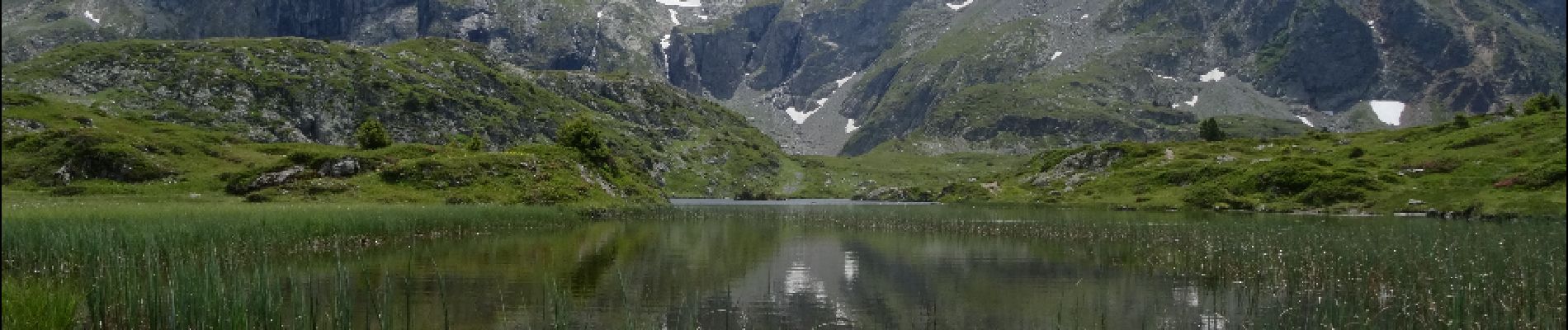
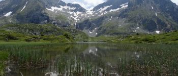
Magnifique petit lac de montagne au pied du Taillefer.
Rando à faire de préfèrence au printemps pour profiter des fleurs.Au début bonne montée mais ensuite pas de difficulté particulière, la descente est très douce.
Photos


Positioning
Comments
magnifique