


Vialas tour du Rocher de Treize

Roger Philippe Wallez
User GUIDE
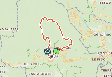

Length
14.5 km

Max alt
1417 m

Uphill gradient
846 m
Km-Effort
26 km

Min alt
607 m

Downhill gradient
846 m
Boucle
Yes
Creation date :
2025-03-13 08:51:32.0
Updated on :
2025-03-13 14:56:42.475
5h49
Difficulty : Very difficult

FREE GPS app for hiking
 SityTrail
IGN / Geographical institutes
SityTrail Plus
The world is yours!
About
Trail Walking of 14.5 km to be discovered at Occitania, Lozère, Vialas. This trail is proposed by Roger Philippe Wallez.
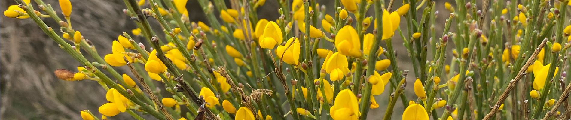
Photos


Positioning
Country:
France
Region :
Occitania
Department/Province :
Lozère
Municipality :
Vialas
Location:
Unknown
Start:(Dec)
Start:(UTM)
571342 ; 4909162 (31T) N.
Comments