


Roquefort des Corbières

tercla
User
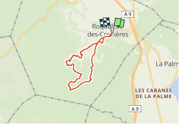

Length
12.7 km

Max alt
396 m

Uphill gradient
396 m
Km-Effort
18 km

Min alt
68 m

Downhill gradient
399 m
Boucle
Yes
Creation date :
2025-03-17 14:27:59.788
Updated on :
2025-03-20 08:28:35.128
4h05
Difficulty : Difficult

FREE GPS app for hiking
 SityTrail
IGN / Geographical institutes
SityTrail Plus
The world is yours!
About
Trail Walking of 12.7 km to be discovered at Occitania, Aude, Roquefort-des-Corbières. This trail is proposed by tercla.
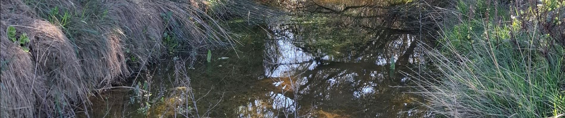
Photos


Positioning
Country:
France
Region :
Occitania
Department/Province :
Aude
Municipality :
Roquefort-des-Corbières
Location:
Unknown
Start:(Dec)
Start:(UTM)
496341 ; 4759704 (31T) N.
Comments