


Chamonix Base hélicoptère

Childebert
User
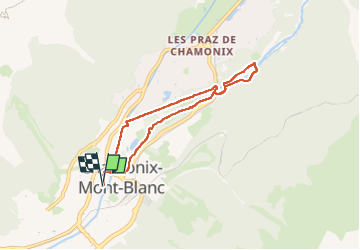

Length
6.5 km

Max alt
1096 m

Uphill gradient
82 m
Km-Effort
7.6 km

Min alt
1034 m

Downhill gradient
81 m
Boucle
Yes
Creation date :
2025-03-18 12:48:41.593
Updated on :
2025-03-18 15:14:00.492
2h24
Difficulty : Easy

FREE GPS app for hiking
 SityTrail
IGN / Geographical institutes
SityTrail Plus
The world is yours!
About
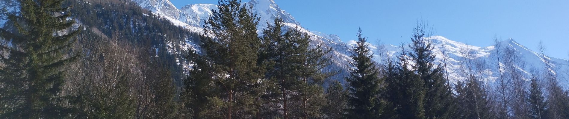
Trail Walking of 6.5 km to be discovered at Auvergne-Rhône-Alpes, Upper Savoy, Chamonix-Mont-Blanc. This trail is proposed by Childebert.
Photos


Positioning
Country:
France
Region :
Auvergne-Rhône-Alpes
Department/Province :
Upper Savoy
Municipality :
Chamonix-Mont-Blanc
Location:
Unknown
Start:(Dec)
Start:(UTM)
334809 ; 5087762 (32T) N.
Comments