


le Danay

chuck
User
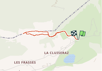

Length
3.2 km

Max alt
1602 m

Uphill gradient
188 m
Km-Effort
5.7 km

Min alt
1412 m

Downhill gradient
188 m
Boucle
Yes
Creation date :
2025-03-18 13:39:59.847
Updated on :
2025-03-18 16:43:23.454
1h41
Difficulty : Easy

FREE GPS app for hiking
 SityTrail
IGN / Geographical institutes
SityTrail Plus
The world is yours!
About
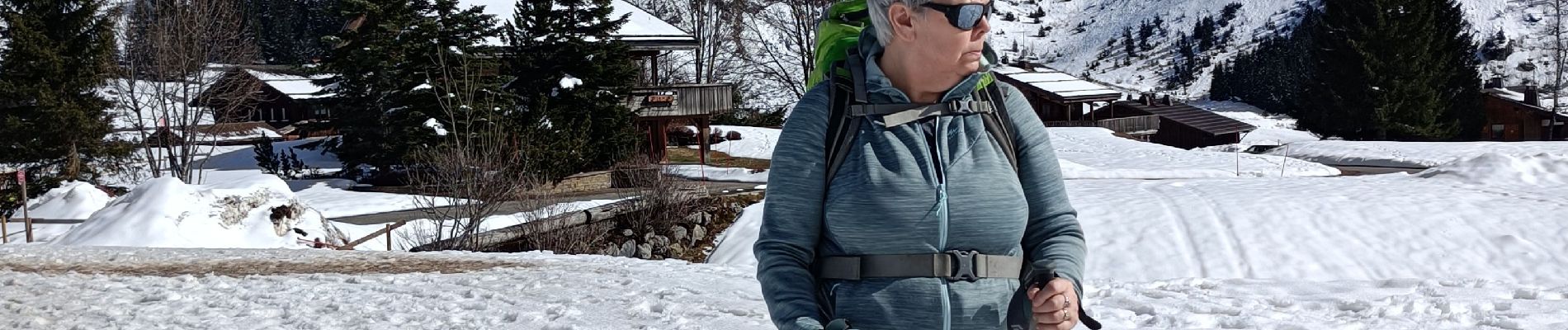
Trail Walking of 3.2 km to be discovered at Auvergne-Rhône-Alpes, Upper Savoy, La Clusaz. This trail is proposed by chuck.
Photos


Positioning
Country:
France
Region :
Auvergne-Rhône-Alpes
Department/Province :
Upper Savoy
Municipality :
La Clusaz
Location:
Unknown
Start:(Dec)
Start:(UTM)
304482 ; 5088238 (32T) N.
Comments