


Guercif Oujda

jpipacific
User
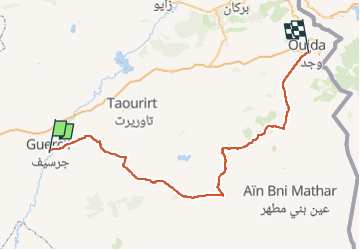

Length
225 km

Max alt
1244 m

Uphill gradient
2318 m
Km-Effort
256 km

Min alt
352 m

Downhill gradient
2127 m
Boucle
No
Creation date :
2025-03-20 09:56:33.655
Updated on :
2025-03-30 12:42:59.621
4h02
Difficulty : Very easy

FREE GPS app for hiking
 SityTrail
IGN / Geographical institutes
SityTrail Plus
The world is yours!
About
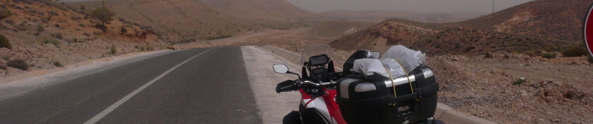
Trail Moto cross of 225 km to be discovered at Oriental, Pachalik de Guercif, Guercif. This trail is proposed by jpipacific.
Description
Honda Africa Twin CRF 1000 DCT en duo.
Traversée et approche de la frontière Algérienne. Rencontre avec les tortues.
Photos


Positioning
Country:
Morocco
Region :
Oriental
Department/Province :
Pachalik de Guercif
Municipality :
Guercif
Location:
Unknown
Start:(Dec)
Start:(UTM)
468256 ; 3787397 (30S) N.
Comments