


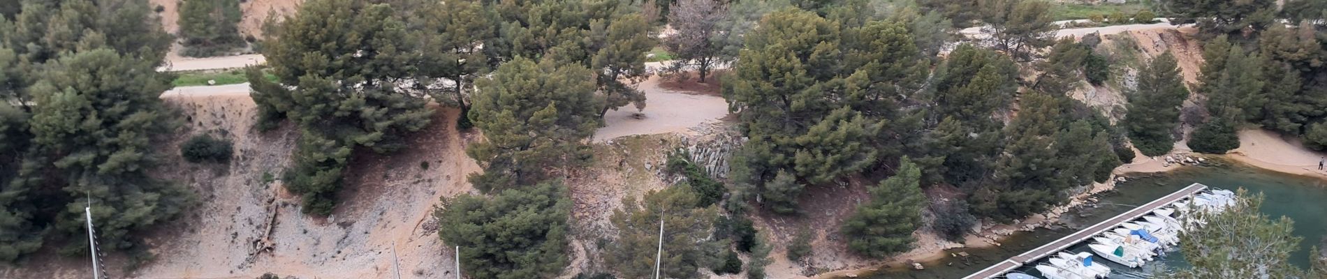
Cassis port miou, morgiou

ego
User
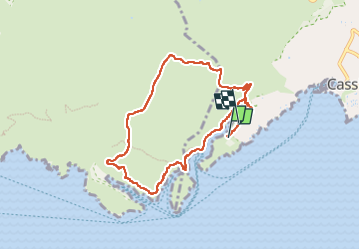

Length
8.6 km

Max alt
192 m

Uphill gradient
280 m
Km-Effort
12.3 km

Min alt
2 m

Downhill gradient
272 m
Boucle
No
Creation date :
2025-03-21 09:30:54.498
Updated on :
2025-03-21 13:44:32.431
4h13
Difficulty : Difficult

FREE GPS app for hiking
 SityTrail
IGN / Geographical institutes
SityTrail Plus
The world is yours!
About
Trail Walking of 8.6 km to be discovered at Provence-Alpes-Côte d'Azur, Bouches-du-Rhône, Cassis. This trail is proposed by ego .
Photos


Positioning
Country:
France
Region :
Provence-Alpes-Côte d'Azur
Department/Province :
Bouches-du-Rhône
Municipality :
Cassis
Location:
Unknown
Start:(Dec)
Start:(UTM)
704639 ; 4786907 (31T) N.
Comments