


Cauterets - Gavarnie

ARVIEU
User
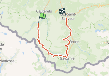

Length
54 km

Max alt
2738 m

Uphill gradient
2543 m
Km-Effort
91 km

Min alt
728 m

Downhill gradient
3313 m
Boucle
No
Creation date :
2025-03-24 08:56:22.28
Updated on :
2025-03-24 09:05:27.343
23h00
Difficulty : Difficult

FREE GPS app for hiking
 SityTrail
IGN / Geographical institutes
SityTrail Plus
The world is yours!
About
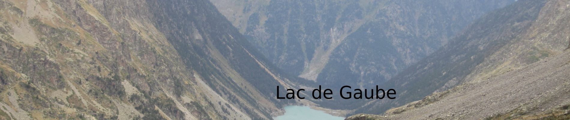
Trail Walking of 54 km to be discovered at Occitania, Hautespyrenees, Cauterets. This trail is proposed by ARVIEU.
Description
Pont d'Espagne (Cauterets) - Baysselance : 14 km 1100 - 172 m 8 h
Baysselance- Gavarnie: 16 km 291 - 1430 6 h
Gavarnie - Luz St Sauveur: 27 km 1000 - 1800 9 h 30
Photos


Positioning
Country:
France
Region :
Occitania
Department/Province :
Hautespyrenees
Municipality :
Cauterets
Location:
Unknown
Start:(Dec)
Start:(UTM)
733752 ; 4748221 (30T) N.
Comments