


le col vert

hugo26
User
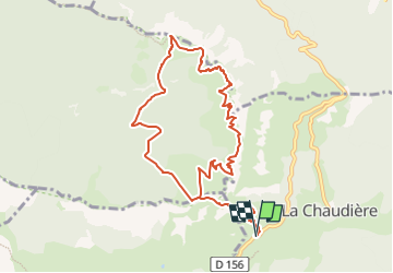

Length
10.7 km

Max alt
1565 m

Uphill gradient
829 m
Km-Effort
22 km

Min alt
1026 m

Downhill gradient
829 m
Boucle
Yes
Creation date :
2025-03-24 12:53:14.16
Updated on :
2025-03-24 13:24:58.177
4h56
Difficulty : Very difficult

FREE GPS app for hiking
 SityTrail
IGN / Geographical institutes
SityTrail Plus
The world is yours!
About
Trail Walking of 10.7 km to be discovered at Auvergne-Rhône-Alpes, Drôme, La Chaudière. This trail is proposed by hugo26.
Description
depuis le parking des clots à villard de lans rando en boucle de 11km vert le col vert et retour par la combe charbonnière
Positioning
Country:
France
Region :
Auvergne-Rhône-Alpes
Department/Province :
Drôme
Municipality :
La Chaudière
Location:
Unknown
Start:(Dec)
Start:(UTM)
674837 ; 4944121 (31T) N.
Comments