


Centerparcs Eifel 1

Geert H.
User
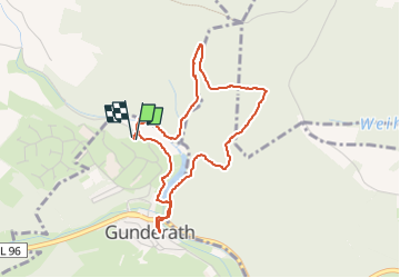

Length
3.7 km

Max alt
531 m

Uphill gradient
100 m
Km-Effort
5.1 km

Min alt
450 m

Downhill gradient
100 m
Boucle
Yes
Creation date :
2025-03-24 15:14:02.286
Updated on :
2025-03-25 15:08:11.693
47m
Difficulty : Easy

FREE GPS app for hiking
 SityTrail
IGN / Geographical institutes
SityTrail Plus
The world is yours!
About
Trail Walking of 3.7 km to be discovered at Rhineland-Palatinate, Landkreis Vulkaneifel, Gunderath. This trail is proposed by Geert H..
Description
Kleine wandeling vanuit ons verblijf in Ceznterparcs
Eifel en het dorpje Gunderath.
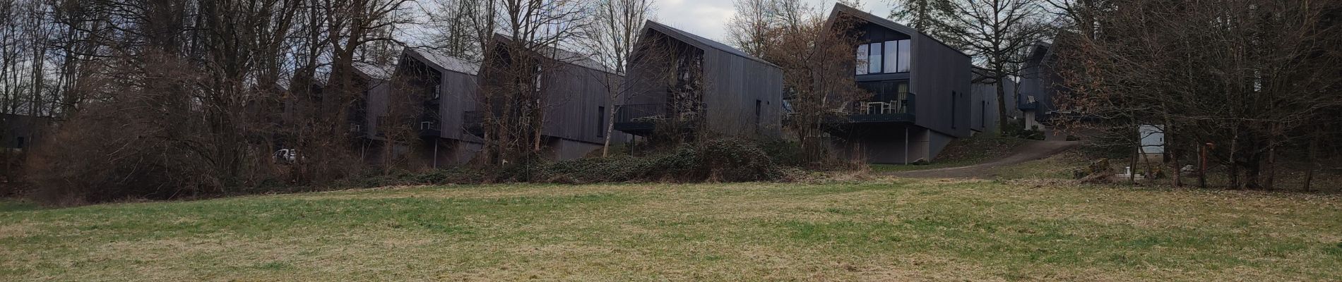
Photos


Positioning
Country:
Germany
Region :
Rhineland-Palatinate
Department/Province :
Landkreis Vulkaneifel
Municipality :
Gunderath
Location:
Unknown
Start:(Dec)
Start:(UTM)
355920 ; 5569391 (32U) N.
Comments