


VTT Caylus 37km 700D+

Levillefranchois
User
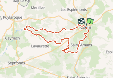

Length
37 km

Max alt
345 m

Uphill gradient
701 m
Km-Effort
47 km

Min alt
172 m

Downhill gradient
707 m
Boucle
Yes
Creation date :
2025-03-25 13:04:15.0
Updated on :
2025-03-26 09:24:46.698
3h14
Difficulty : Difficult

FREE GPS app for hiking
 SityTrail
IGN / Geographical institutes
SityTrail Plus
The world is yours!
About
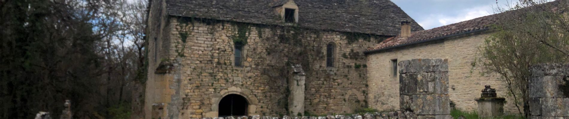
Trail Mountain bike of 37 km to be discovered at Occitania, Tarn-et-Garonne, Caylus. This trail is proposed by Levillefranchois.
Description
Beau parcours a ne pas faire après des pluies, rendu très glissants (argile, glaise, ravinement dans certains passages, surtout remontée du GR46 secteur de Coupéré)
Photos


Positioning
Country:
France
Region :
Occitania
Department/Province :
Tarn-et-Garonne
Municipality :
Caylus
Location:
Unknown
Start:(Dec)
Start:(UTM)
401877 ; 4898607 (31T) N.
Comments