


07 labatie d'andaure zel 19.03.25

randodyssée
User GUIDE
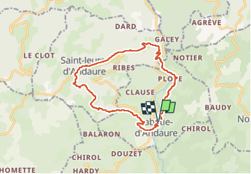

Length
15.3 km

Max alt
996 m

Uphill gradient
669 m
Km-Effort
24 km

Min alt
490 m

Downhill gradient
672 m
Boucle
Yes
Creation date :
2025-03-20 08:06:16.27
Updated on :
2025-03-26 17:09:43.813
5h41
Difficulty : Medium

FREE GPS app for hiking
 SityTrail
IGN / Geographical institutes
SityTrail Plus
The world is yours!
About
Trail Walking of 15.3 km to be discovered at Auvergne-Rhône-Alpes, Ardèche, Labatie-d'Andaure. This trail is proposed by randodyssée.
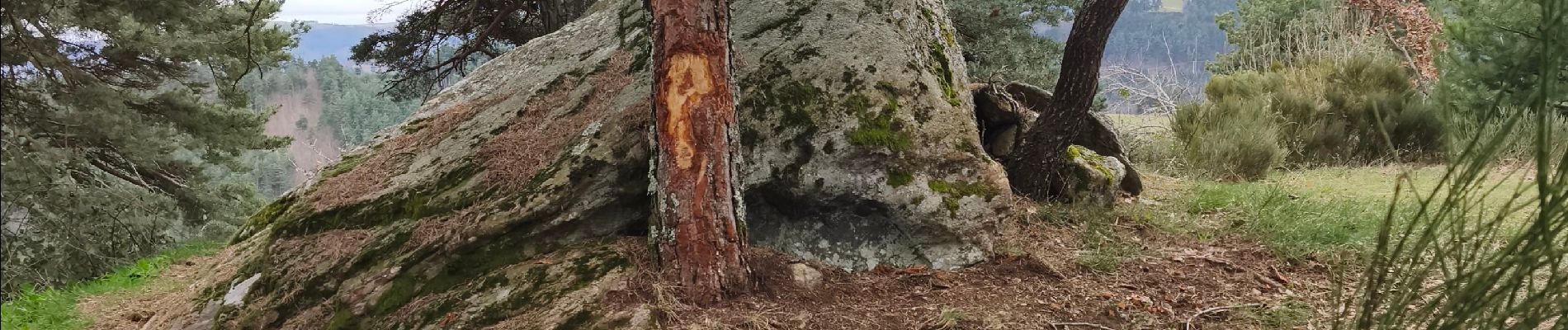
Photos


Positioning
Country:
France
Region :
Auvergne-Rhône-Alpes
Department/Province :
Ardèche
Municipality :
Labatie-d'Andaure
Location:
Unknown
Start:(Dec)
Start:(UTM)
617790 ; 4987029 (31T) N.
Comments