


La Gaillarde - 28/03/25

GeorgesV.
User
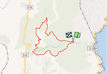

Length
8.7 km

Max alt
232 m

Uphill gradient
374 m
Km-Effort
13.7 km

Min alt
16 m

Downhill gradient
374 m
Boucle
Yes
Creation date :
2025-03-28 07:19:26.0
Updated on :
2025-04-07 14:21:45.516
3h06
Difficulty : Medium

FREE GPS app for hiking
 SityTrail
IGN / Geographical institutes
SityTrail Plus
The world is yours!
About
Trail Walking of 8.7 km to be discovered at Provence-Alpes-Côte d'Azur, Var, Roquebrune-sur-Argens. This trail is proposed by GeorgesV..
Description
Randonnée dans le bois de la Gaillarde - Niveau moyen - Beaux points de vue
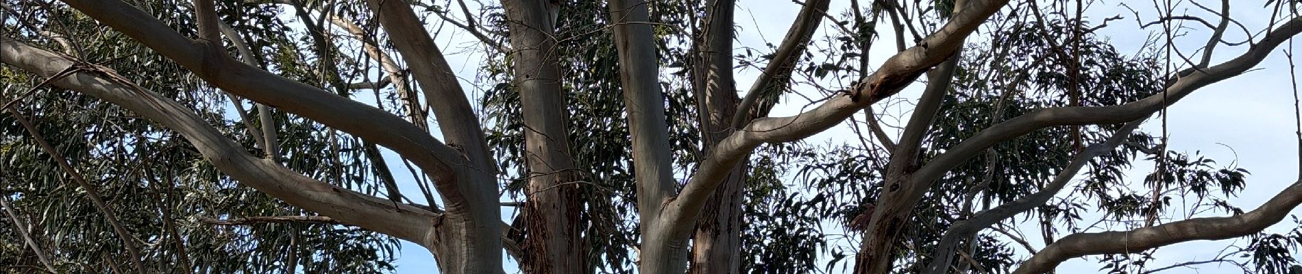
Photos

Positioning
Country:
France
Region :
Provence-Alpes-Côte d'Azur
Department/Province :
Var
Municipality :
Roquebrune-sur-Argens
Location:
Unknown
Start:(Dec)
Start:(UTM)
313770 ; 4804339 (32T) N.
Comments